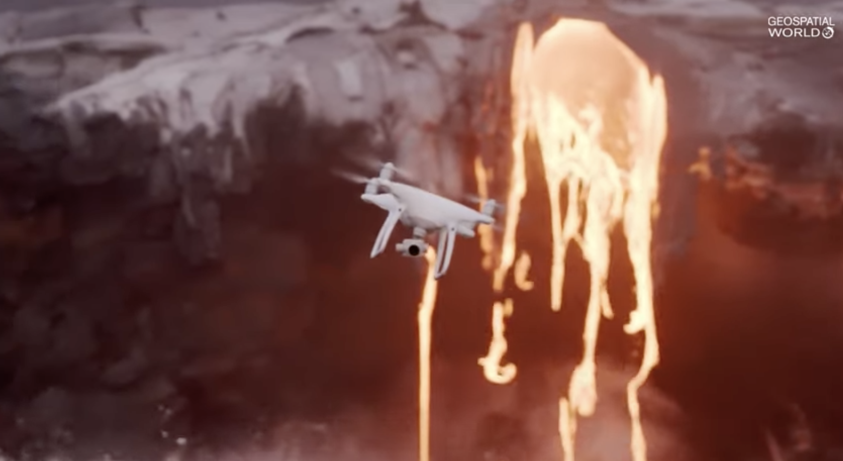
5 key benefits you will get from drone mapping and surveying
From mining to construction topographical surveying is essential for getting the chart right. The rise of drone technology is changing the way surveying is done making it accessible to a wide range of industries.
Drones offer enormous opportunities for surveyors and GIS professionals. With the help of drones it is possible to carry out surveys and process and deliver surveying data in a timely accurate and safe way.
Using drones for surveying and mapping has many advantages.
Time-saving

Traditional surveys can take days if not weeks. With the power of drones a survey can be completed in hours and the collected data and imagery can be processed on the same day. This means that you spend less time in gathering data and taking the right decisions.
Cost-effective

The acquisition and operating cost of a drone survey is much lower than that of surveys through satellites and manned aircraft. The technical requirements for the site and personnel are also low and the daily maintenance is simple.
These factors eventually reduce the cost of data acquisition.
Accessibility

With the help of drones you can easily survey those areas that are otherwise difficult or even impossible to access. For cliffs rugged terrain and other areas where conventional surveying is challenging and time-consuming.
Drones offer a great advantage.
Accuracy

some of the most important parameters of serving are spatial resolution and low altitude multi angle shooting. The spatial resolution can reach decimetres or even centimeters and can be used to construct accurate digital models and 3d landscape maps.
Safety

Land surveying can be a risky job drones eliminate the need for surveyors to explore unknown terrain and can be helpful in avoiding harvest places such as railway lines and rocky terrains.